GTA VI / GUIDEDISTRICT
Regions
On this page
Choose a regional guide by the landscape you want to understand. This comparison starts with what the official images show, then suggests a useful first search on the map.
Which landscape would you like to examine?
The entries below are reading choices, not a route order. Each image offers a way to recognize its setting without telling us how much of the finished map the region occupies.
| Guide | Visible reference points | Start by comparing |
|---|---|---|
| Vice City | Waterfront buildings, palms and a sports court | Street level and the distant skyline |
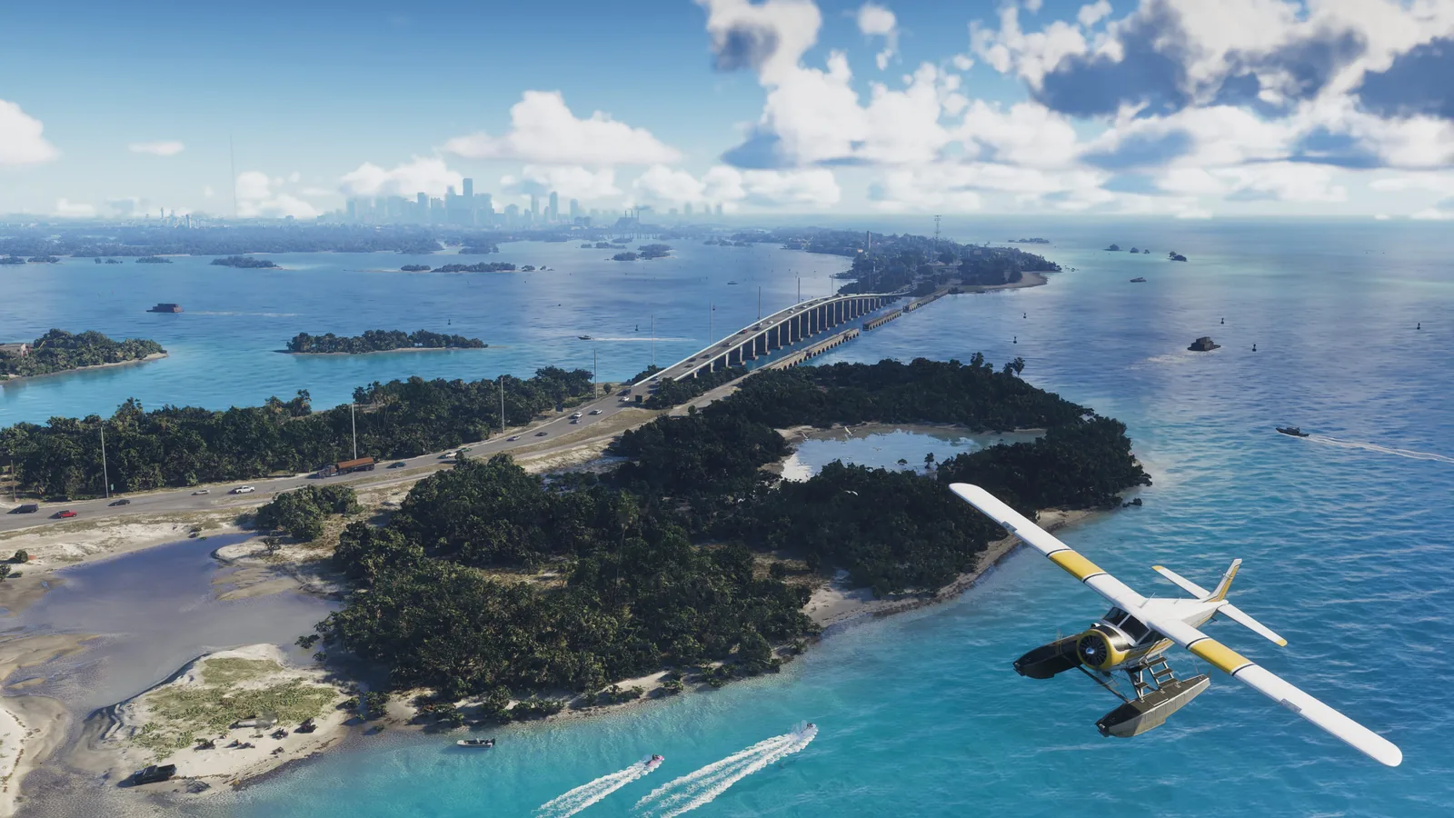
| Leonida Keys | Islands, a long bridge and open water | Shoreline shapes and bridge approaches |
| Grassrivers | An airboat amid floating vegetation | Open water and plant cover |
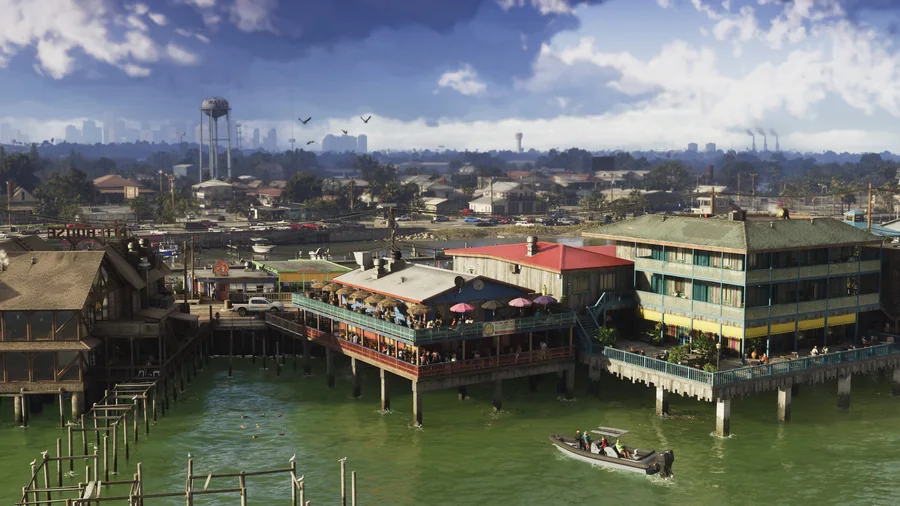
| Port Gellhorn | Low homes, utility poles and a water tower | Nearby housing and distant landmarks |
| Ambrosia | A waterway, road lights and industrial chimneys | Foreground banks and the lit horizon |
| Mount Kalaga | A road between rocky slopes and a bridge | Road bends and changes in height |
Choose a comparison with a purpose
Compare Vice City with Leonida Keys for two kinds of waterside scenery: dense buildings and an island chain. Grassrivers and Mount Kalaga offer a contrast between wetland detail and steep terrain. Port Gellhorn and Ambrosia draw attention to housing and industry.
These are visual comparisons. They do not rank the regions by size, difficulty, number of activities or travel time. The Leonida overview explains how a region, a landscape and a single place record fit together.
Move from a guide to a place record
Open the map, select the region, then zoom or use the full list to find a named place. The map holds 2,139 records across its database; the current view deliberately shows only a selection of markers.
Save a few records to favorites and give each a specific note, such as a building shape or a screenshot title. Export your notes before changing devices. Regional positions and marker placements remain community estimates, so use them as leads for checking.
Questions you might have
Which region should I visit first in the game?
These images do not establish a recommended gameplay order. Choose a dossier by the scenery that interests you; advice on starting routes needs in-game verification.
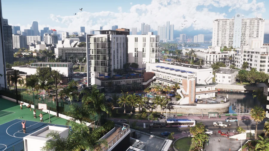
Vice City in GTA VI: waterfront scenery, Boobie Ike and Dre’Quan Priest, and an entry point to the interactive map.
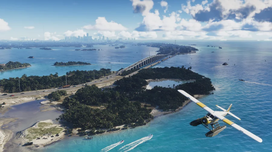
Leonida Keys in GTA VI: islands, bridges, Jason Duval and Brian Heder, with an entry point to the interactive map.
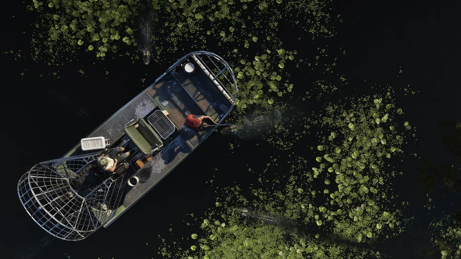
Grassrivers in GTA VI: water, wetland vegetation and alligators in the official images, with an entry point to the interactive map.
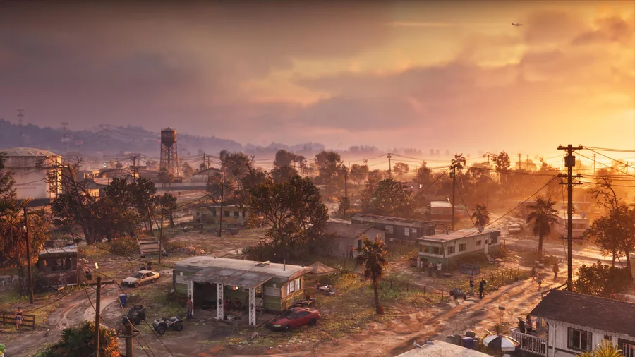
Port Gellhorn in GTA VI: homes, roads and a water tower in the official images, with an entry point to the interactive map.
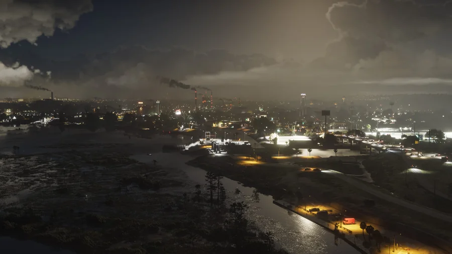
Ambrosia in GTA VI: a waterway, night lighting and industrial structures in the official images, with access to the interactive map.
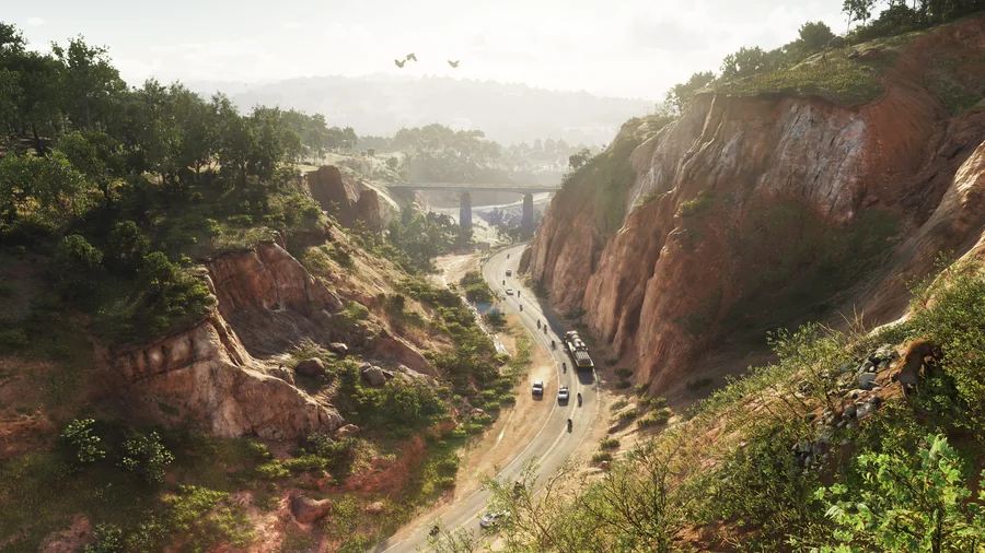
Mount Kalaga in GTA VI: national park scenery, wooded slopes, a road and a bridge, with access to the interactive map.