

GTA VI / GUIDEDISTRICT
How accurate is this map?
On this page
The map is useful for organising community research, but a point is not proof of an exact in-game location. Read the name, position and source as separate pieces of information before drawing a conclusion.
What the catalogue numbers mean
The catalogue checked on November 7, 2026 contains 2,139 retained community entries. Of these, 592 have a proposed community name and 227 carry an uncertainty flag from the source. These groups overlap: do not add them together or treat the remainder as a set of verified locations.
These are counts for this website’s catalogue, not a total of GTA 6 destinations, activities, collectibles or enterable buildings. Your checked counter tracks entries you marked here. A completed checklist on the site does not establish game completion.
Read a place card in two parts
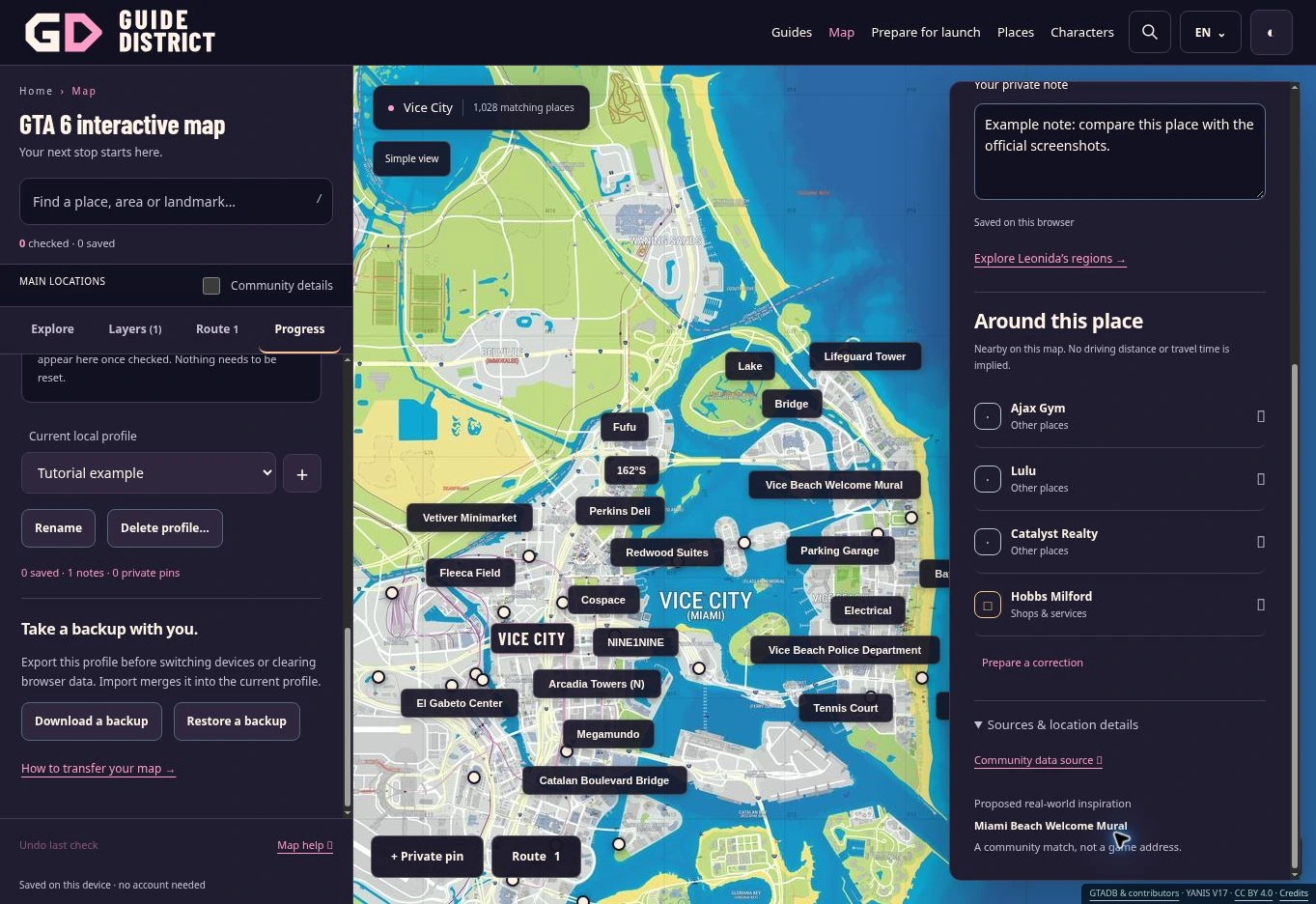
Community name · estimated position means the source proposes a name and coordinates. A recognisable name does not make the plotted position exact. Name unverified · estimated position means the displayed label may describe an unnamed record or a proposed comparison with a real place.
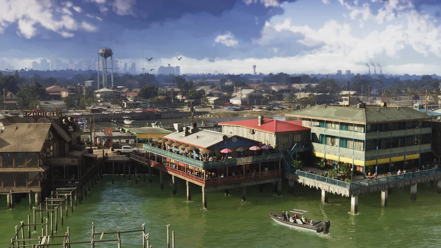
For example, a real-world airport match can help explain a researcher’s hypothesis without establishing an in-game airport name or entrance. Open Sources & location details on the card to examine its Community data source. A region atmosphere image is an illustration of the region, not a photograph proving that individual point.
Do not mistake display choices for certainty
The overview prioritises six regions and ten selected major places, then adds more named places as you zoom or focus on a region. Screen space limits which labels fit. Community details exposes the detailed markers; the list still provides access to the full filtered catalogue.
Named places only is a naming filter, not a certainty test. Some named entries also have uncertainty flags. Likewise, grouping Vice Beach under Vice City is a browsing choice: it does not draw an exact official boundary. The filter guide explains those groups.
Use a point as a lead to investigate
Before making a plan, open the source and ask what it actually supports: a name, a visual resemblance or a location estimate. A building marker alone says nothing about whether you can enter, buy or use that building. Route lines do not prove roads or travel times either.
If you notice an unsupported label, prepare a correction with the place link and a source for the specific change. Keep your observation separate from your suggested interpretation. The sources page explains the retained community material and credits.
Useful next steps
Explore places and save your favourites.
The interactive map combines community geography with GuideDistrict’s search, filters and personal tracking tools.
Find places with text, categories and region groups, and understand why a filter can hide a saved location.
Prepare a useful correction with the page address, a precise problem and supporting evidence, then download the text file.
A useful guide explains what to do and how the information was established.